Tamil Nadu geography for Tnpsc and Upsc exams. This includes features such as mountains, plateaus, plains and coastal regions.
This region has different traditional and cultural practices. It has exquisite Physiography and climate of Tamil Nadu, which makes it distinct from other Indian states.
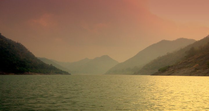
Tamil Nadu has a rich diversity of flora and fauna, including various plant and animal species. Several exotic hill stations, a huge forest, beautiful waterfalls and long beaches and coastline, which is the lifeline of millions. This region experiences distinct seasons, including Summer, monsoon and winter.
Location and size of Tamil Nadu

Tamil Nadu is located in the southernmost part of the Indian Peninsula. Its location is 8°4’N to 13°35’N latitudes and from 76°18’E to 80°20’E longitudes.
Its eastern boundary is Point Calimere and its western Boundary is Anaimalai Hills. Similarly, its northern boundary is marked by Pulicat Lake, and its southernmost point is Cape Comorin.
Compared to India, Tamil Nadu has 4% of its total size.
- Latitudes: 8°4’N to 13°35’N
- Longitudes: 76°18’E to 80°20’E
Neighbouring States and Boundaries
Tamil Nadu has the Bay of Bengal in the east and the Indian Ocean in the South. Her neighbouring states are Kerala in the West and Andra Pradesh in the north, and Karnataka in the Northeast.
Also, she has the second-longest coastline in India after Gujarat, which is 1076 Km.
Since Tamil Nadu is present in the southernmost tip of the Indian Mainland, it shares its border with another country called Sri Lanka.
Neighbouring States, and Countries, Its Coastline
| Kerala | West |
| Karnataka | North-West |
| Andra Pradesh | North |
| Coastline Length | 1076 Km (India’s Second Longest) |
| It lies close to Sri Lanka |
Tamil Nadu Boundaries
| East | Bay of Bengal |
| West | Kerala & Western Ghats |
| North | Andhra Pradesh & Karnataka |
| South | Indian Ocean |
| Tamil Nadu has 4% of India’s total area | Cape Comorin (Kanyakumari) |
| Tamil Nadu has 4% of total India’s Area |
- East: Bay of Bengal
- West: Kerala & Western Ghats
- North: Andhra Pradesh & Karnataka
- South: Indian Ocean
- Southernmost point: Cape Comorin (Kanyakumari)
- Tamil Nadu covers about 4% of India’s total area
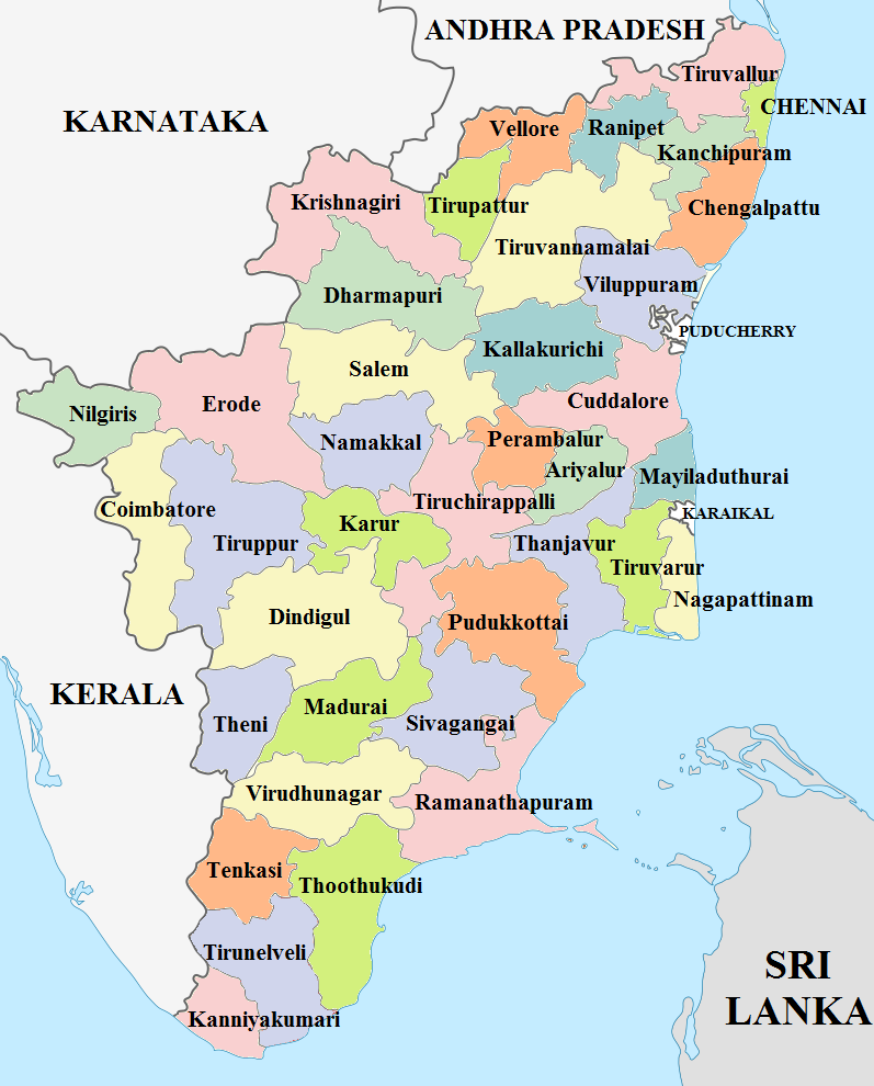
Administrative divisions of Tamil Nadu
Just after Independence, Tamil Nadu had only 13 districts. The state administrative divisions were reorganised many times. As of now, Tamil Nadu has 38 districts. The newly formed districts are Kallakurichi, Tenkasi and Chengalpet.
Dindigul is the largest district in Tamil Nadu, followed by Tiruvannamalai.
Physical features of Tamil Nadu
The physical features of Tamil Nadu include:
- Western Ghats
- Eastern Ghats
- Plateaus
- Plains
- Coastal Regions
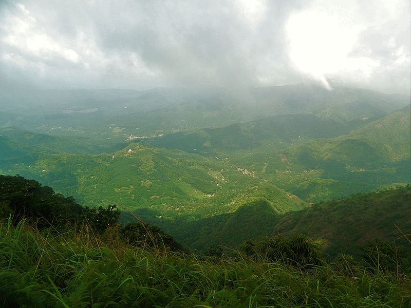
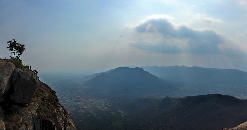
Tamil Nadu is located on the Indian Peninsular plateau will is also called the Deccan Plateau. It was part of the ancient Gondwana land, which broke away 135 million years ago during the Cretaceous Period. The physical features of Tamil Nadu influence its Climate of Tamil Nadu, rainfall patterns, and vegetation.
Tamil Nadu’s physical features include high eroded mountains, shallow deep valleys and plains. Overall its slopes towards the east.
Tamil Nadu Physiography is divided into the Western Ghats, Eastern Ghats, the Plateaus, the Coastal and Inland Plains. Let us see the description of East Physiography.
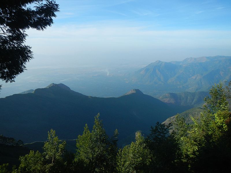
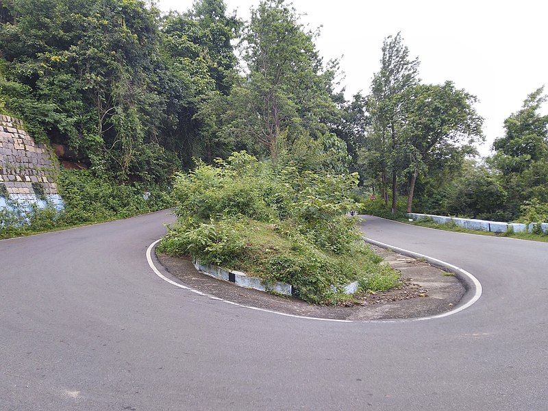
Western Ghats
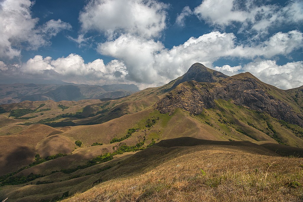
The Western Ghats is present on the Western border of Tamil Nadu alongside Kerala. It extends from Nilgiris in the North to Maruthuvazh Malai at Swamithope in the Kanyakumari district in the South.
Its height ranges from 2000 to 3000 metres and covers an area of about 2500 sq Km. The Western Ghats are a continuous range, but it also has some passes.
Passes in Geography
Passes are generally a gap or break in a continuous range of hills, terrains, mountains etc.
The Passes found in the Western Ghats are Palghat, Shencottah, Aralvaimozhi and Achankoil, and the Major hills of Western Ghats are Nilgiris, Anaimalai, Palani Hills, Cardamom Hills, Varusanadu, Andipatti and Agasthiyar Hills.
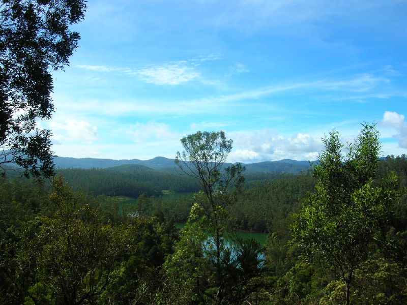
Nilgiri Hills
The Nilgiri Hills are part of the Western Ghats, which are located in the northwestern part of Tamil Nadu. It consists of 24 peaks of a height of more than 2000 metres.
Its highest peak is Doddabetta with a height of 2637 metres, and it is followed by Mukkuruthi peak with a height of 2554 metres.
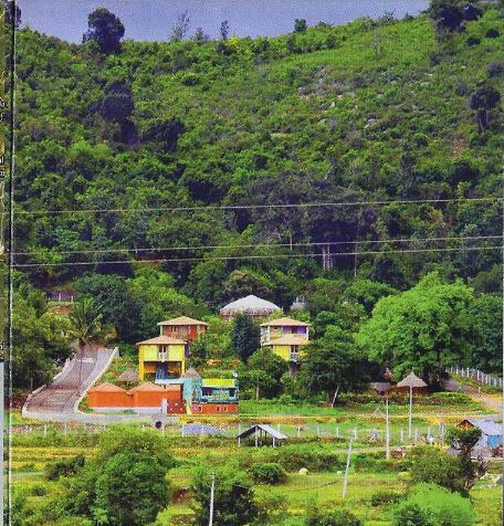
Nilgiri Hills is famous for being a hill station that attracts millions of tourists worldwide. The major hill stations located in the Nilgiris are Coonoor and Ooty.
Nilgiris is a natural wonder; it is home to more than 2700 species of flowering plants. The Tamil Nadu state animal is the Nilgiri Tahr, which is found on these hills.
For several years, its natural montane grasslands and shrublands have been damaged or disturbed by cattle grazing and tea plantations.
Anaimalai
Anaimalai or Elephant Mountains is a range of mountains that forms the southern portion of the Western Ghats. It is located on Palghat Gap, the border of Tamil Nadu and Kerala.
Important places of Anaimalai are Anaimalai Tiger Reserve, Aliyar Reserved Forest, Valparai Hill Station, and Kadamparai Hydroelectric Power Plant.
Two dams, namely Aliyar and Tirumurthy, are located in the foothills of this range.
Palani Hills
The Palani Hills are the eastern extension of the Western Ghats. These hills are located in the Dindigul district, except for its western side.
Its highest peak is Vandarav,u which is of the height of 2533 metres, and its second-highest peak is Vembadi Shola, which is ofthe height of 2505.
Kodaikanal is a famous hill station located in these hills. Its height is 2150 metres, and it lies in the south-central portion of this range.
Cardamom Hills
The Cardamom Hills is also Yela Malai. It is located in the south-western part of Tamil Nadu.
Yela Malai gets its name from the spice named Cardamom, which is commonly grown here, Also Pepper and Coffee are cultivated here.
Cardamom hills meet the Anaimalai Hills in the northwest, the Palani Hills in the northeast, and Varusanadu and Andipatti hills in the southeast.
Varusanadu and Andipatti Hills
Varusanadu and Andipatti Hills are the other eastward extensions of the Western Ghats. Megamalai (highway mountain), Kalugumalai, Kurangani Hill station, and Suruli and Kumbakarai waterfalls are found on these hills.
Srivilliputhur Grizzled Squirrel Wildlife Sanctuary is located on the southern slope of these hills in Virudhunagar district.
The Vaigai River and its tributaries originate from this region.
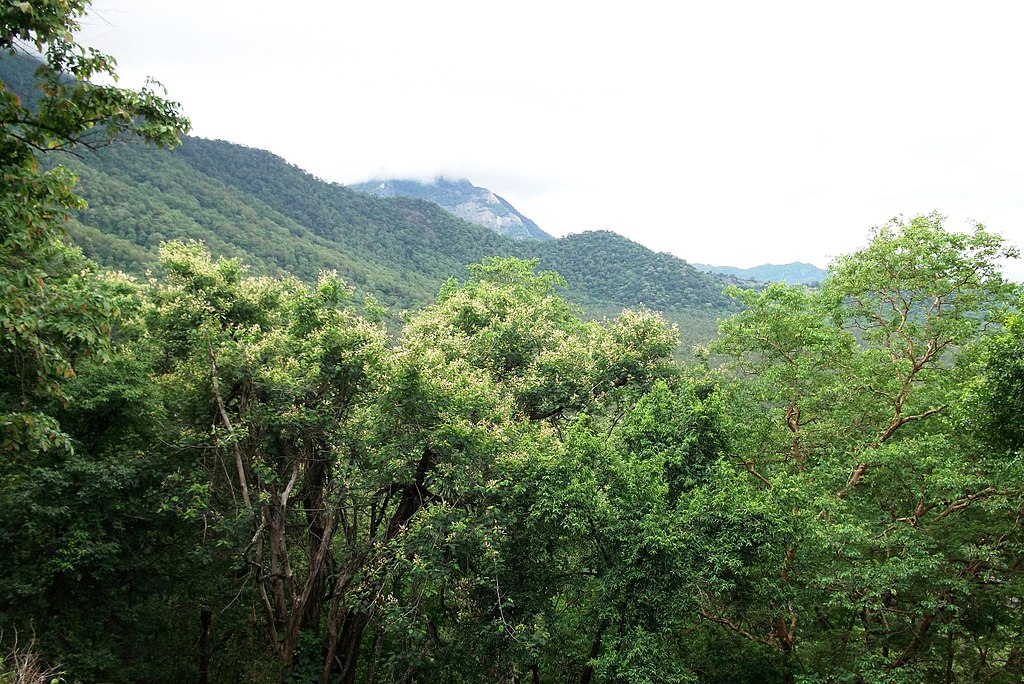
Pothigai Hills
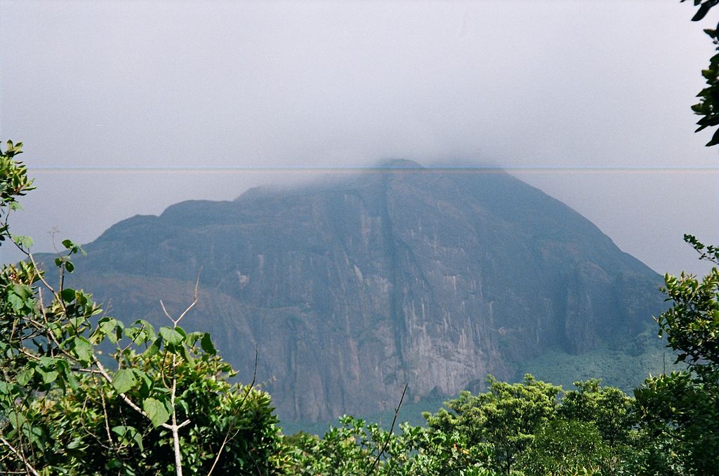
The most part of Pothigai Hills lies in the Tirunelveli district, with its southern slope lying in the Kanyakumari district. Pothigai Hills are called by different names such as Shiva Jothi Parvath, Agasthiyar Hills, and Southern Kailash.
Pothigai area is known for its evergreen forest, ancient temples and waterfalls. Kalakkad Mundanthurai Tiger Reserve is located in this region.
Mahendragiri Hills
Mahendragiri Hills are a continuous range, which is situated along the border of the Kanyakumari and Tirunelveli districts. Mahendragiri Hills are part of the southern range of the Western Ghats, and their average height is 1645 metres.
The ISRO Propulsion Complex is a test facility for the ISRO to launch space vehicles that are situated on the lower slopes of this mountain.
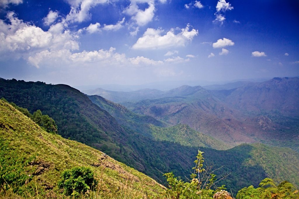
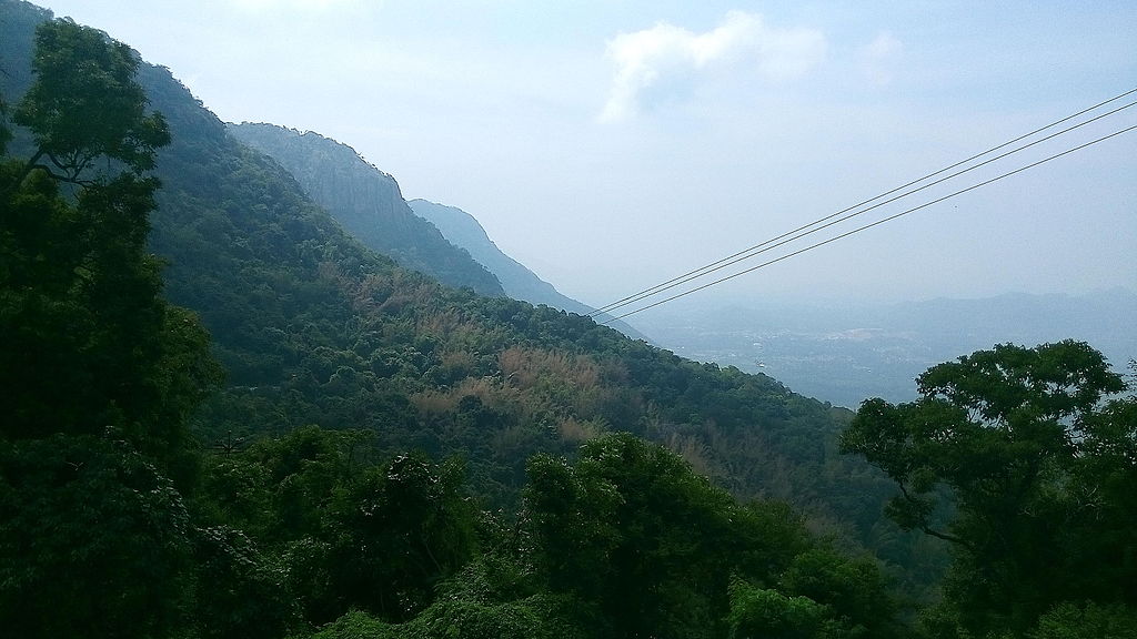
The Eastern Ghats
The Eastern Ghats are discontinuous and irregular. It is dissected at many places by rivers, and these rivers drain into the Bay of Bengal.
The height of these ranges is 1,100 to 1,600 metres. These hills separate the plains from the plateaus.
The major hills of the Eastern Ghats of Tamil Nadu are Javadhu, Servarayan, Kalrayan, Kollimalai and Pachaimalai. These are located in the northern districts of Tamil Nadu.
Javadhu Hills
Javadhu Hill are an extension of the eastern ghats, which are spread over the parts of Vellore and Tiruvannamalai Districts. These hills separate these two districts as well.
The average height of these peaks ranges from 1100 to 1150 metres. Its highest peak is Melpattu. The Vainu Bappu Observatory (VBO) Kavalur is located on these hills. This observatory started its observations in 1967.
Bluish-Grey Granites cover many parts of this range. These hills are covered with fruit-bearing trees, Medicinal herbs and Sandalwoods.
The illegal logging of trees such as Sandalwood is a major concern here.
Kalvarayan Hills
It got its name from ancient tribes called Karalar. It is one of the major ranges of the Eastern Ghats in Tamil Nadu. This range, along with Pachaimalai, Aralvaimalai, Javadhu and Servarayan hills, separates the river basins of Cauvery and Palar.
The height of these Hills ranges from 600 to 1220 metres. Kalvarayan Hill has two sections. They are Chinna Kalvarayan in the northern section and the Periya Kalvarayan in the southern section.
The average height of Chinna Kalvarayan is 825 metres, and the Periya Kalvarayan is 1,220 metres.
Servarayan Hills
It is located near Salem City, and its height ranges from 1200 to 1620 metres. It gets its name from a local deity known as Servarayan. The highest peak, Solaikaradu, in the southern part ofthe Eastern Ghats is located in this range.
Its height is 1620 metres. The hill station named Yercaud is located on this range. Yercaud is also known as Poor Man’s Ooty. Servarayan temple is its highest point (1623 metres).
Kolli Hills
Kolli Hills is a small mountain range located in the Namakkal district. It covers an area of about 2800 sq.km. Its average height is up to 1300 metres.
This mountain range runs almost parallel to the east coast of South India. An important Pilgrim Centre in this range is the Arpaleeswarar temple.
Kolli Hills has the largest cover of evergreen or shola forest compared to other parts of the Eastern Ghats. On the commercial side, many coffee plantations, fruits, flowers and silver Oak estates are found in this region.
Pachaimalai
Pachaimalai is the lowest hill range and is spread over the Perambalur, Tiruchirapalli and Salem districts. In the Tamil language, Pachai means Green colour.
The vegetative cover of this region is greener than other vegetative covers of this region, and hence it is named ‘Pachai Malai‘. Jackfruit is a popular seasonal agricultural product of these hills.
Plateau of Tamil Nadu
Plateaus of Tamil Nadu are located between the Western and Eastern Ghats. It is roughly triangular in shape and covers an area of about 60000 sq.km.
It height increases from east to west, and its height ranges between 150 to 600 metres. This plateau is broader in the north and very narrow in the south. It has many subdivisions.
List of plateaus in Tamil Nadu
1. Bharamahal Plateau
Bharamahal plateau is a part of the Mysore plateau and is situated in the northwestern part of Tamil Nadu. Its height ranges from 350 to 710 metres. Dharmapuri and Krishnagiri districts are located in this region.
2 . Coimbatore Plateau
It lies between Nilgiris and Dharmapuri District, and its height ranges from 150 to 450 metres. Salem, Coimbatore and Erode districts are located in this region. This area spans about 2560 sq. km.
3 . Sigur PlateauThe
Moyar River separates this plateau from the Mysore plateau. Rivers like Bhavani, Noyyal and Amaravathi, which originate from the Western Ghats, flow through valleys in this region.
Its height varies from 353 to 710 metres. Many intermontane plateaus are found in the region of the Nilgiris.
4.Madurai Plateau
This plateau found in the Madurai district extends up to the foothills of the Western Ghats. The Vaigai and Thamirabarani basins are located in this zone.
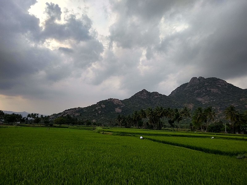
Plains
The plains in Tamil Nadu are divided into two they are inland plains and the coastal plains. Inland plains are drained by rivers Palar, Ponnaiyar, Cauvery and Thamirabarani.
The Cauvery plains are the most fertile plains of the state. The plains of Cauvery are found in Salem, Erode, Karur, Tiruchirapalli, Pudukottai, Thanjavur, Tiruvarur and Nagapattinam districts.
The coastal plains of Tamil Nadu are also called the Coromandel or Cholamandalam plain. It extends from Chennai to Kanyakumari.
These coastal plains are formed by rivers that flow towards the east and drain into the Bay of Bengal, and in some places, it is more than 80 km wide.
Tamil Nadu coastal plains are an emerging coast; still, some parts are submerged into the sea.
The sand dunes formed along the coast of Ramanathapuram and Thoothukudi districts are called Teri. Coral rocks are found at the head of the Gulf of Mannar in the eastern coastal plain.
Beaches
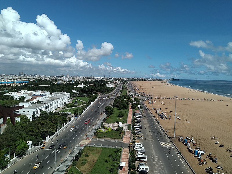
The Coromandel coast along the Bay of Bengal consists of beautiful and exotic beaches. The golden sands of Tamil Nadu beaches are scattered with palm and casuarina groves. Marina and Elliot beaches of Chennai, Kovalam and Silver beaches of Kanyakumari are some of the famous beaches in Tamil Nadu.
Rivers in Tamil Nadu
Tamil Nadu has several improtant rive like Cauvery, Vaigai and Thamirabarani that play a crucial role in agriculture.
Natural Vegetation
The total forest cover of Tamil Nadu is lower than the National Forest Policy, 1988, that say a minimum of one-third of the total geographical area should be under forest cover.
Tamil Nadu’s forest cover is 2.99, and its types vary from wet evergreen to scrub forest.
The Western Ghats, the longest hill range in the state, is one of the 25 global hotspots of biodiversity and one of the three mega centres of endemism in India.
Conclusion
In this article, we have discussed the Geography of Tamil Nadu, including its physiography, hills, plateaus, plains, beaches and Natural vegetation of Tamil Nadu.